Post
Offline Itinerary Export: Printable HTML, GPX, and JSON
2026-09-05
The short answer
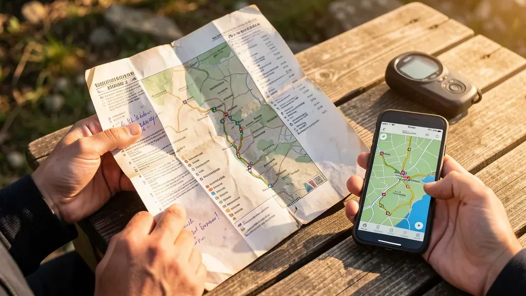
You plan the trip. You pack the phone. Then you hit the trailhead, the beach, the rural road — and cell service dies. We built a free Itinerary Export tool so you can take any destination’s day-by-day plan offline: view the map with numbered stops and route lines, export as a printable HTML page (paper backup), a GPX track (Garmin, Wahoo, phone GPS apps), a map image (PNG), or raw JSON (your own scripts). No sign-up. No server. Everything runs in your browser.
Why we built this
Every destination guide on Receipt Road includes a day-by-day itinerary with GPS coordinates where we could verify them. Until now, that data was trapped on the page. We wanted to get it into your backpack — literally.
The pattern is common: you read the guide at home on Wi-Fi, screenshot a few stops, hope the screenshot survives the trip. That works until you add a stop, miss a note, or the phone dies at the worst moment. Paper doesn’t run out of battery. A GPX track in your GPS device works in airplane mode. JSON lets you remix the data yourself.
What you get
- Map view — an interactive Leaflet map with numbered markers for each stop, color-coded by day, with dashed route lines connecting stops in order. Click any marker to see the stop name and notes.
- Printable HTML — a self-contained page with every day, every stop, every note, and coordinates. Looks decent in black-and-white. Takes one click to “Save as” or print. No stylesheets, no images, no dependencies.
- GPX 1.1 — each day becomes a
<trk>with<trkpt>points for every mapped stop. Load into Gaia GPS, Garmin Connect, AllTrails, or any GPS app that reads GPX. Stops without coordinates (museums, restaurants without a confident landmark fix) are omitted from the track. - Map image (PNG) — download the current map view as a PNG image. Useful for saving to your phone’s photo library or sharing in a travel group chat.
- JSON — the raw itinerary plus metadata (destination, verification date, export date). Use it to build your own tools, feed it to a map, or just archive.
Which itineraries are available?
Every destination that has a full guide page and an itinerary entry. That’s Tbilisi, Albania, Banff, Budapest, Buenos Aires, Hoi An, Jordan, Lisbon, Marrakech, Peru, Romania, Seoul, Antalya Coast — 15 destinations as of September 2026. Each shows its day count, stop count, and how many stops have GPS coordinates right in the dropdown.
Try it
Open the Itinerary Export tool, pick a destination, and hit any of the three export buttons. The preview above the buttons shows exactly what’s in that itinerary — day-by-day, stop-by-stop, with coordinates where available.
It’s one of our six client-side tools now, alongside the Budget Calculator, Trip Planner, Best Time to Visit, Compare, and Visa Comparison.